Storm prints · The collection
The storm,
as it arrived.
The great hurricanes at the moment they reached land, printed from a single satellite scan or radar sweep. Nothing is painted in: the clouds are the scan itself, lit from their own measured cloud tops, over the coastline exactly where it lay beneath them.
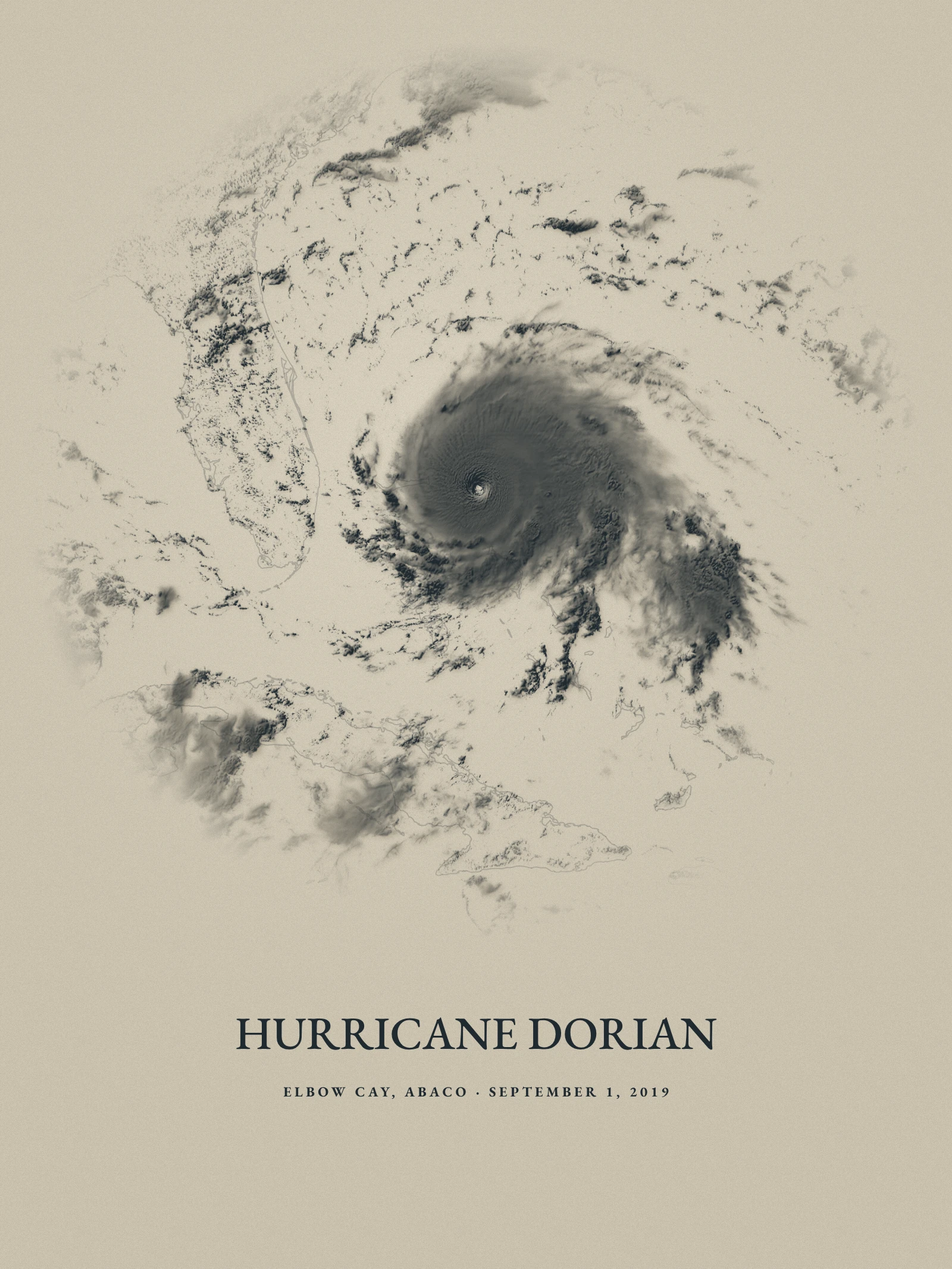 Hurricane Dorian · Elbow Cay, Abaco · September 1, 2019
The works
Landfalls
Each work is one moment chosen from the storm’s whole life, most of them within hours of landfall, in one of three treatments.
Atmospheric studiesHurricane DorianELBOW CAY, ABACO · SEPTEMBER 1, 2019
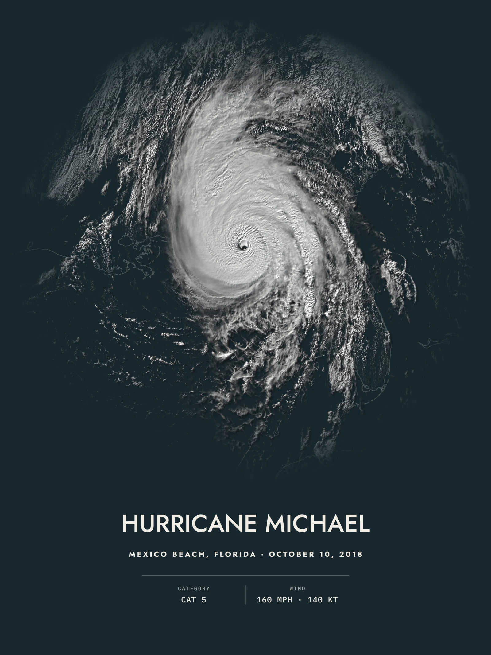 NocturnesHurricane MichaelMEXICO BEACH, FLORIDA · OCTOBER 10, 2018
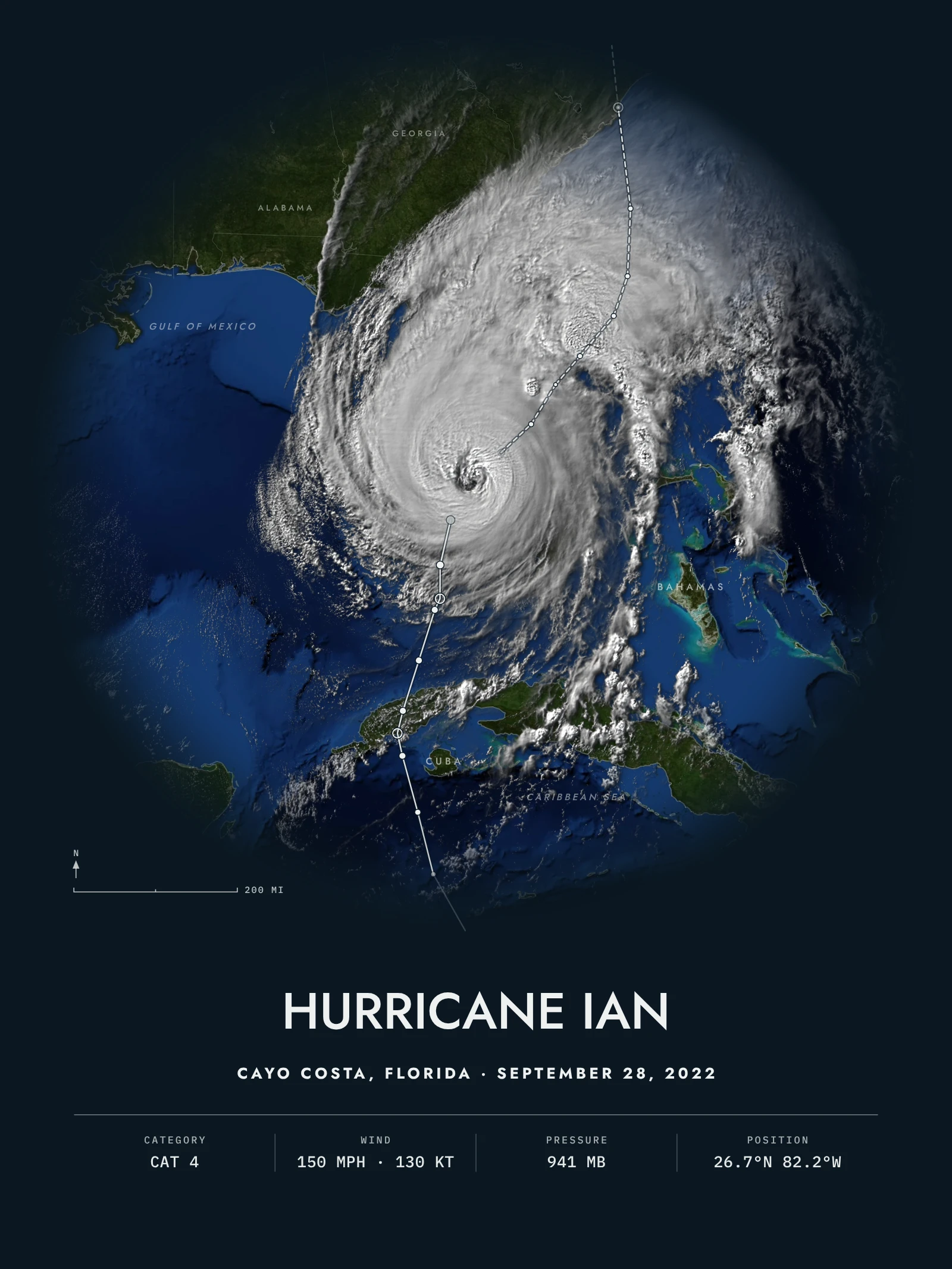 Storm atlasHurricane IanCAYO COSTA, FLORIDA · SEPTEMBER 28, 2022
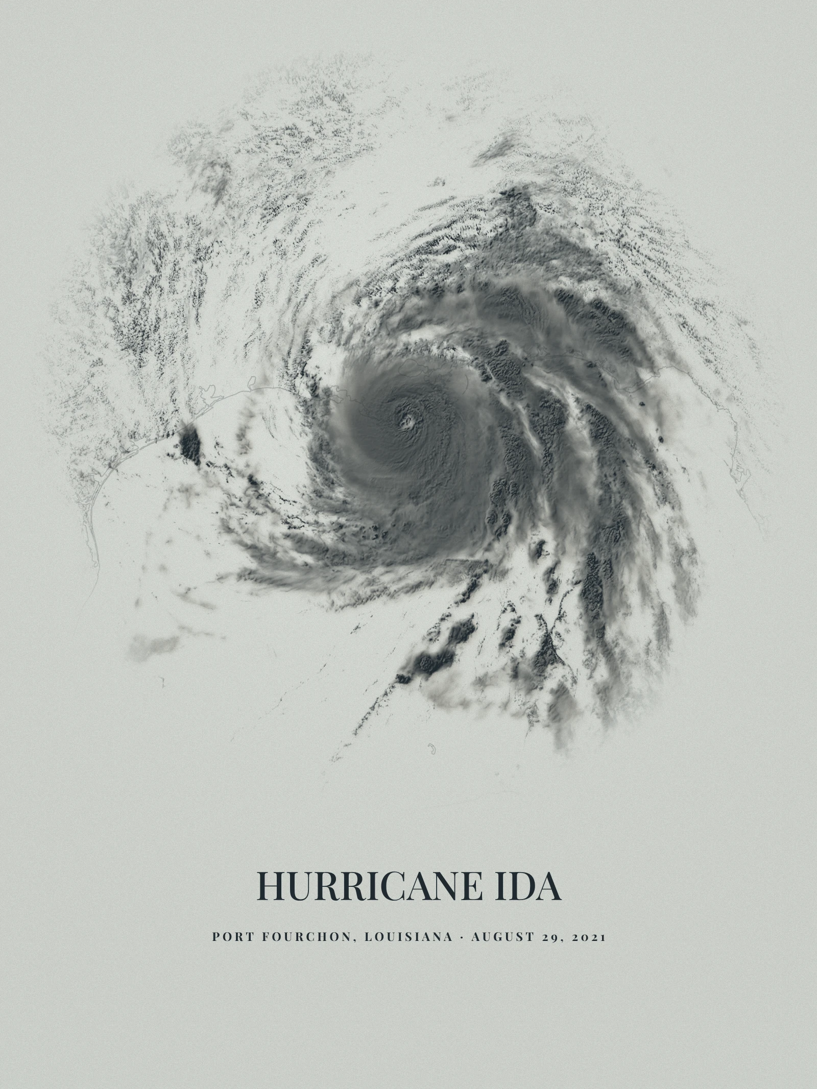 Atmospheric studiesHurricane IdaPORT FOURCHON, LOUISIANA · AUGUST 29, 2021
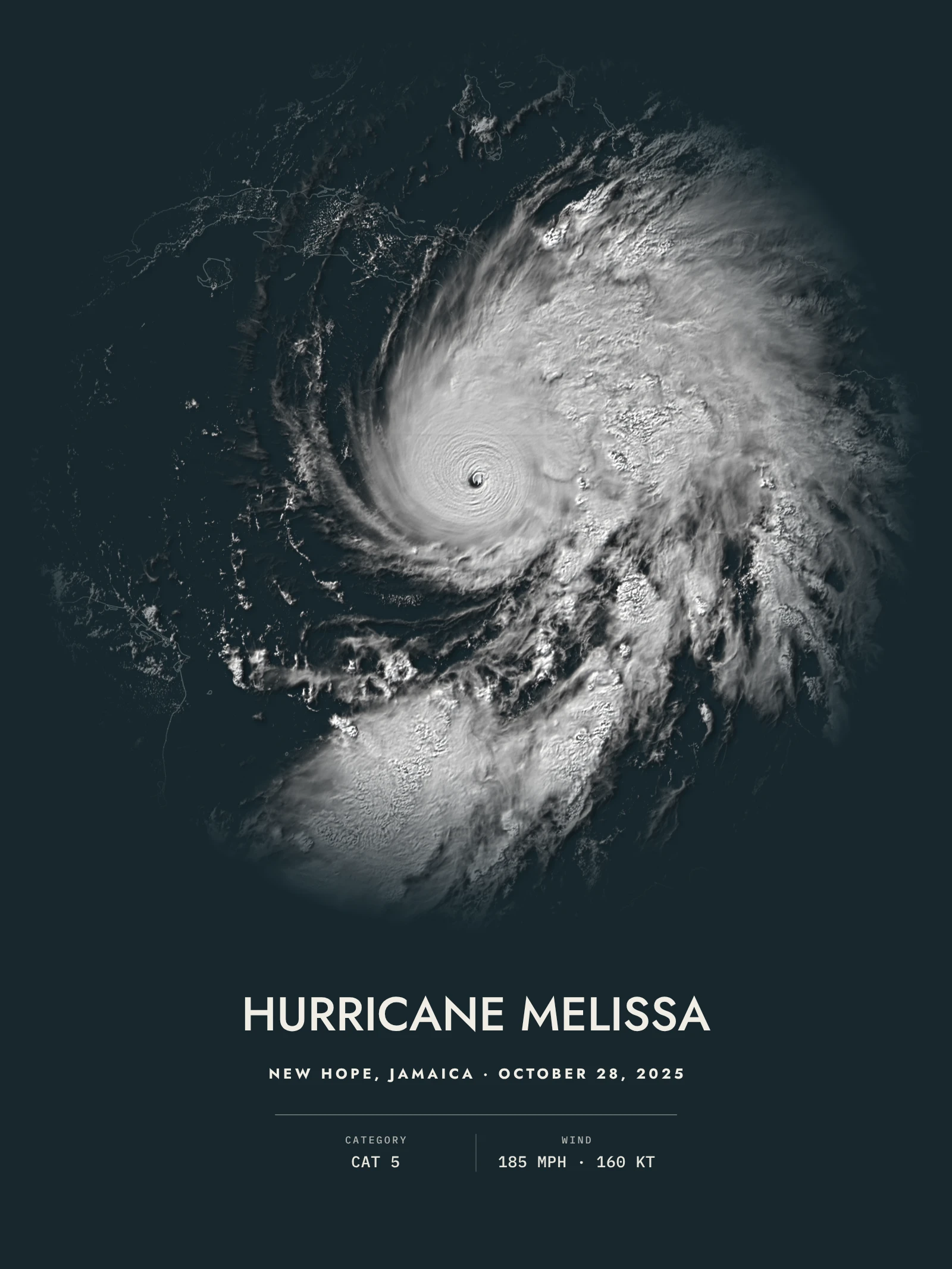 NocturnesHurricane MelissaNEW HOPE, JAMAICA · OCTOBER 28, 2025
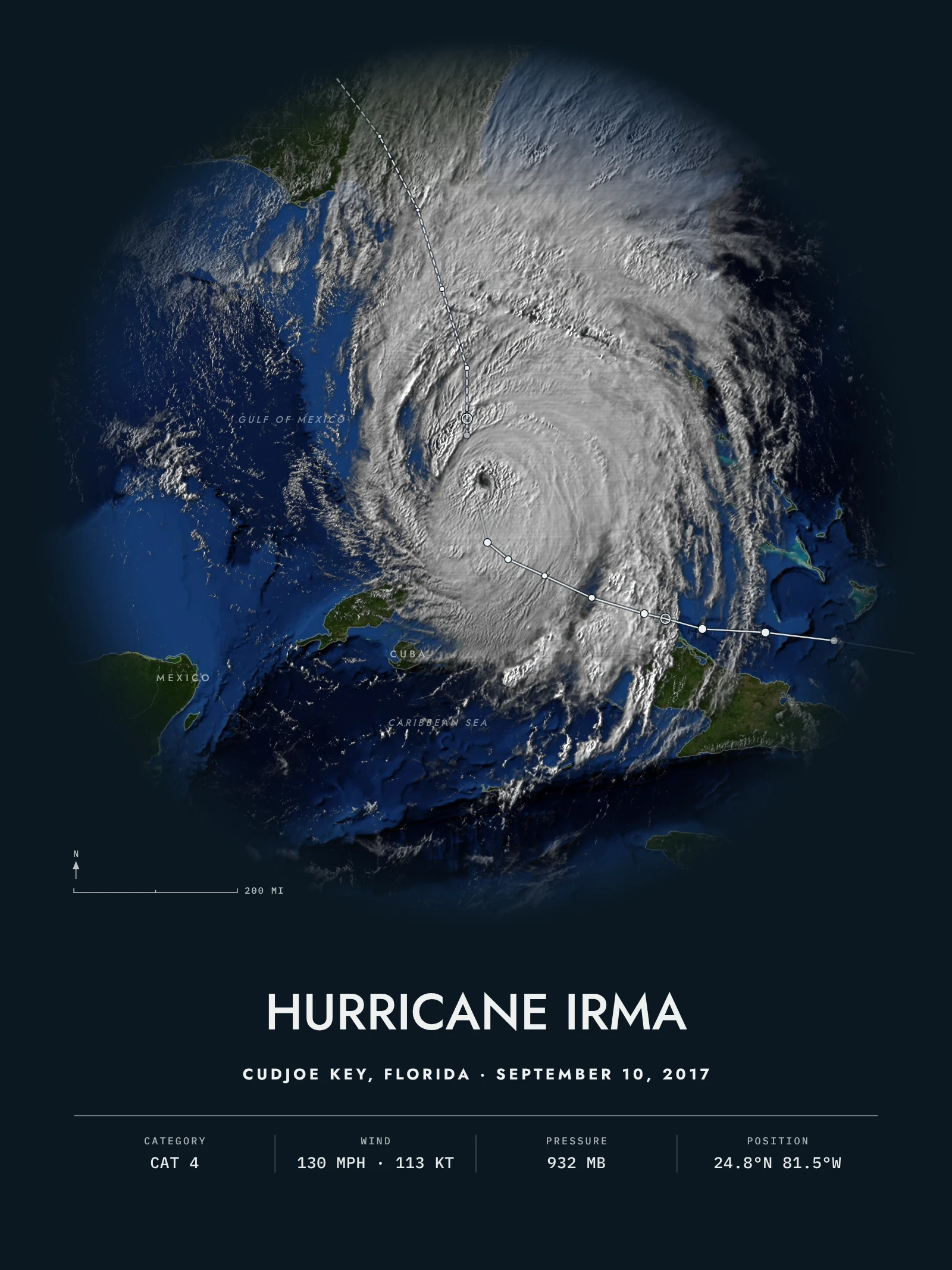 Storm atlasHurricane IrmaCUDJOE KEY, FLORIDA · SEPTEMBER 10, 2017
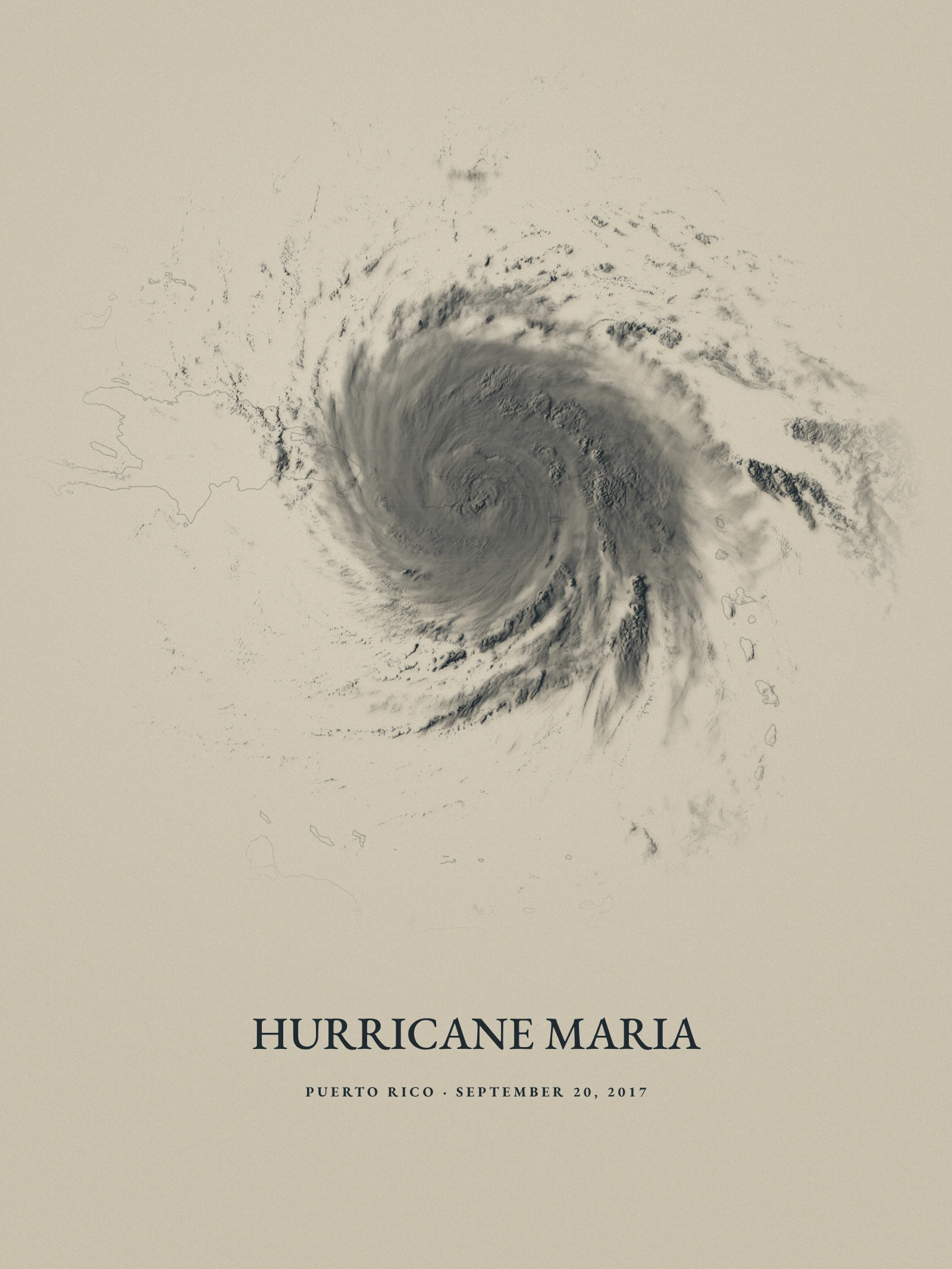 Atmospheric studiesHurricane MariaPUERTO RICO · SEPTEMBER 20, 2017
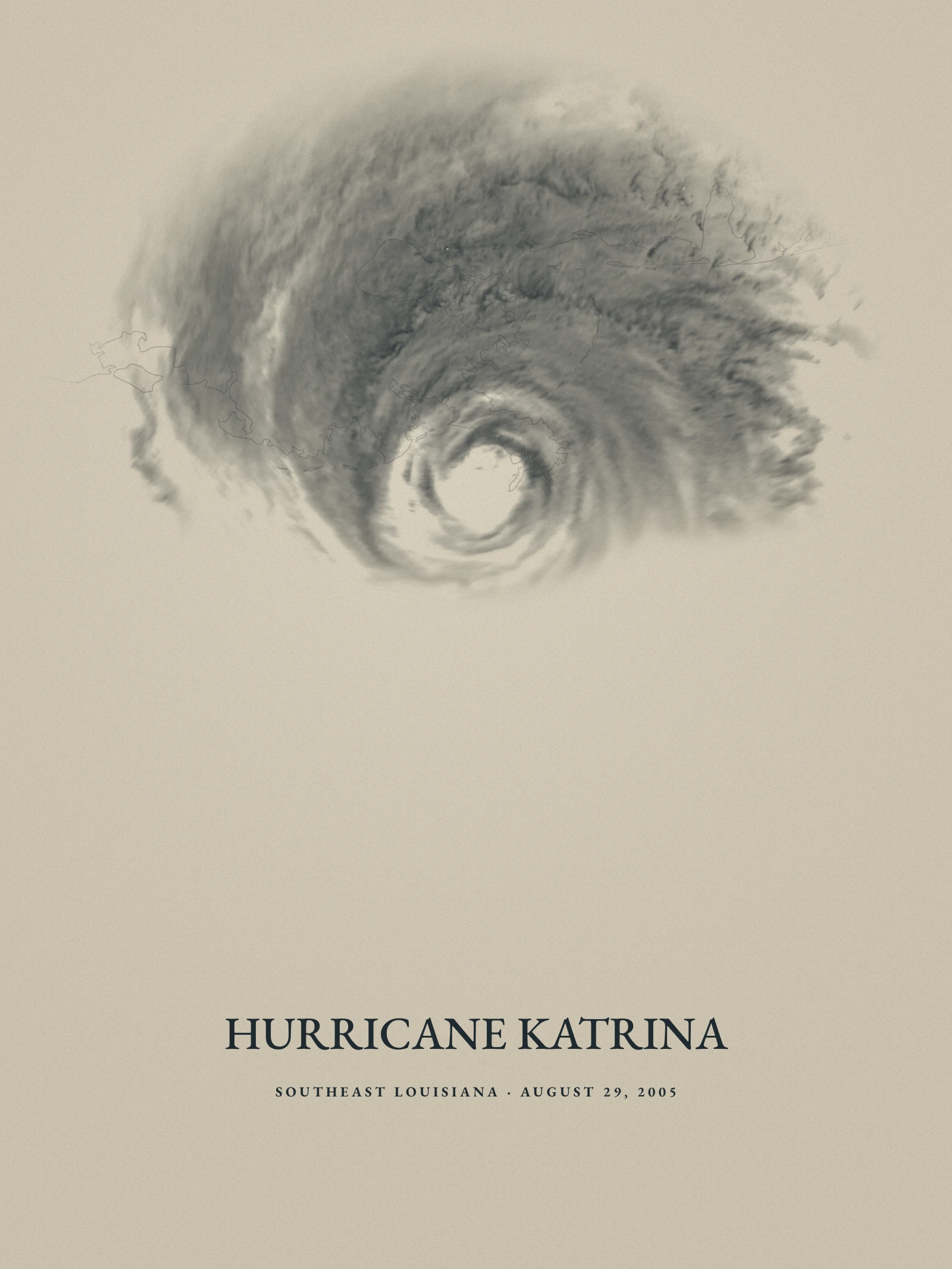 Atmospheric studiesHurricane KatrinaSOUTHEAST LOUISIANA · AUGUST 29, 2005
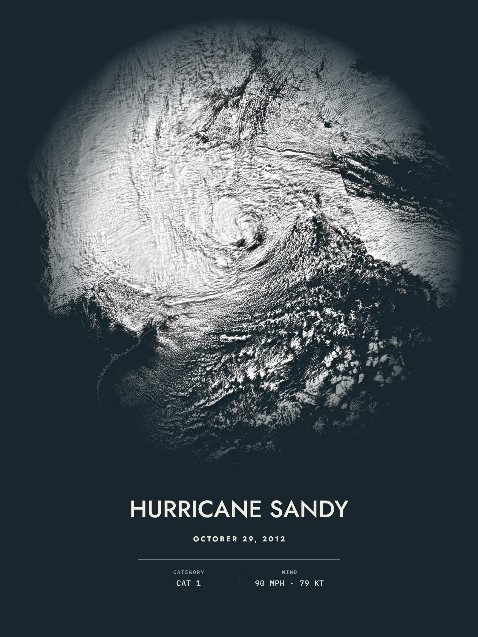 NocturnesHurricane SandyOCTOBER 29, 2012
The three treatments
I
Atmospheric studies
Warm or cool paper, restrained relief and the coast barely there. The storm, and nothing else.
II
Nocturnes
A deep field, luminous cloud and the shadows it casts, with the storm’s strength in a single line.
III
Storm atlas
The storm in its geography: relief and ocean depth, the places it reached, its track and the full record.
How they are made
From the record, not a stock photo
- The scan itself. GOES visible imagery at half a kilometer, NASA MODIS before 2017, or the lowest sweep of every NEXRAD radar in reach, at the minute shown on the print.
- Lit from its own cloud tops. The infrared channel of the same scan measures how cold, and so how high, each cloud top was. That height raises and shadows the clouds.
- Its own coastline. Coasts, track and place names are projected onto the same storm-centered grid as the image, so every island sits exactly where it was.
The storm studio
Compose your own.
Any storm in the archive, any moment of its life, your paper, light and words. See it on your wall before you print it.